


Daniel Klooster
Professor, Environmental Studies

May 5 - 21, 2025
15
$3500
Shared lodging in individual tents on a covered, raised wooden platform at an off-grid outpost at the edge of a vast wilderness preserve with cool showers, satellite internet, natural swimming pool, micro-hydro energy plant, solar panels, howler monkeys, hummingbirds and a community garden with three meals a day. Ground transportation, boat transportation, rainforest and waterfall hikes, river swims. Shared hostel lodging during excursions to a nearby town and to Panama City, jungle river paddle in a dugout canoe and an overnight stay in mosquito-proof hammocks in an Emberá indigenous village in the Chagres National Park. Beach and mangrove excursion to a Pacific Island. World Heritage sites, museums, the Panama Canal, and craft-art markets in Panama City.
Airfare, ground transportation to LAX, personal snacks, several meals, souvenirs, and field clothes. Estimated at $800-$1000.
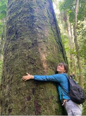
You will work in teams gathering data and using GIS to support socially sustainable conservation in Panama’s Mamoní Valley Preserve. Located approximately a two-hour drive from Panama City, the preserve is part of the largest remaining stretch of contiguous rainforest in the exceptionally bio-diverse Chocó-Darién-Manabí eco-region. Biodiversity here includes more than 290 species of birds, sloths, monkeys, ocelots, and jaguars. You will work with the course instructors, experienced jungle guides, and local conservation experts on applied projects such as these:
You will improve GIS skills and learn cutting-edge conservation techniques including GPS trail mapping, carbon content estimation, satellite remote sensing, mapping with aerial drones, and hydrological monitoring. You will also learn about comparative approaches to conservation in Panama, including the Mamoní Valley Preserve, the Chagres National Park, and the challenges faced by the Emberá Indigenous people inhabiting the park, whose village we will visit. You will generate, analyze, and display data crucial for conservation planning, and present your analysis and design ideas to key stakeholders. Your work will build on field data UR students and faculty have produced in repeated May terms and on-campus GIS classes since 2017 and support our future projects as well.
Students must take SPA 110: Introduction to Geographic Information Systems beforehand. Spanish language skills are recommended, but not required. Other requirements: Ability to hike for hours on uneven and slippery rainforest trails, willingness to be flexible with diet (vegetarians OK), ability to live in close quarters and to work respectfully, collaboratively, patiently, and compassionately with other students, faculty, jungle guides and Panamanians, and ability to maintain a positive attitude in spite of rain, heat, humidity and rustic conditions.
LAI requirements: NS, APW, CPI CSER