University of Redlands
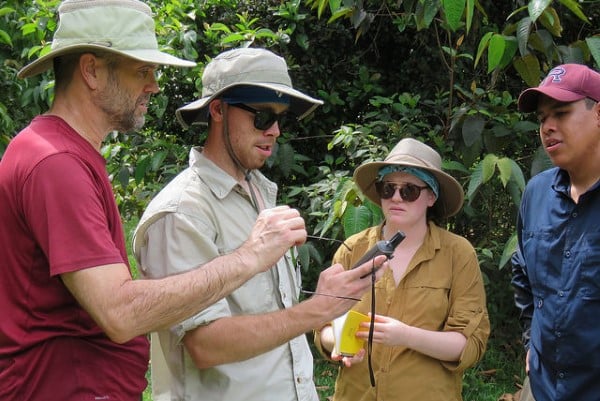 A medium for interdisciplinary instruction and research, spatial studies help students and faculty develop the ability to visualize and interpret location, position, distance, direction, relationships, movement, and change over time. School of Business & Society students use GIS to identify optimal locations for new businesses. Biology, chemistry, and anthropology students use GPS-enabled mobile devices to track animal movements and conduct research on natural and urbanized ecosystems. Humanities students use original texts to redraw maps of religions and create powerful "story maps" from testimonials of Holocaust survivors. Creative spatial research and instruction projects are being conducted by nearly all academic units at the University of Redlands.
Read more about it: