University of Redlands
Discovering the World Through GIS!
Celebrate GIS (Geographic Information Systems) and the difference it is making on campus and around the world! GIS Day has been celebrated around the world since 1999 and provides an international forum for users of all kinds to showcase their applications and demonstrate the difference that it is making in our society.
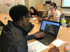 8:00am – 5:00pm: Virtual Humanitarian Mapathon (Nate Strout, Center for Spatial Studies) 8:00am – 5:00pm: Virtual Humanitarian Mapathon (Nate Strout, Center for Spatial Studies)Help map vulnerable places in the developing world using simple web-based tools. Join us live on Webex from 8-9am or participate and map anytime throughout the day! |
 11:30am – 12:30 pm: Live Stream of Campus Drone Flight (Nate Strout, Center for Spatial Studies) 11:30am – 12:30 pm: Live Stream of Campus Drone Flight (Nate Strout, Center for Spatial Studies)Join us as we fly around campus and live-stream the video feed! Get a birds-eye view of campus and see some special guests along the way! |
|
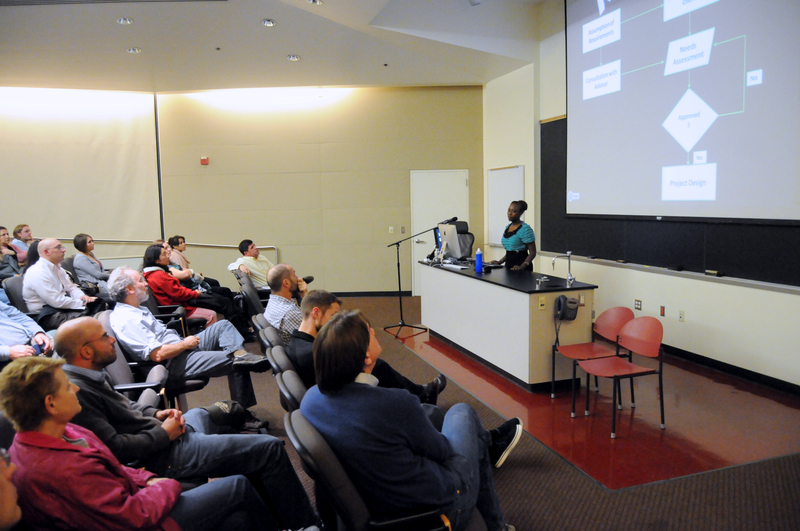
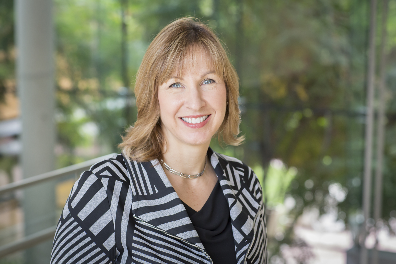
Dr. Fang Ren will present graduate and career opportunities available through the University of Redlands. |
|
|
|
|
 6:00 - 7:15 pm. Collecting and Connecting the Dots for COVID-19 (Este Geraghty, Chief Medical Officer, Esri)